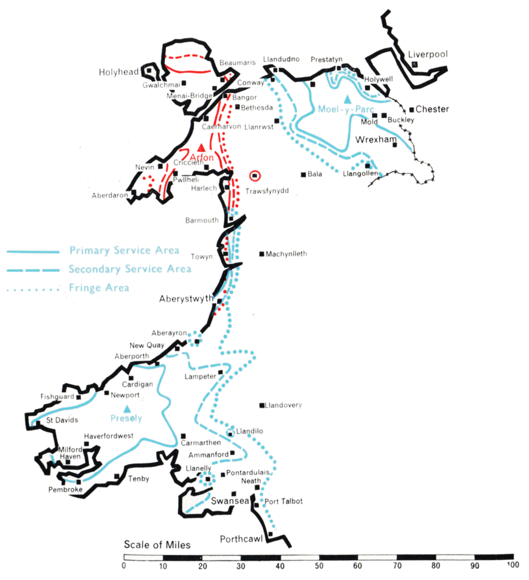
This group of stations was planned to bring Independent Television programmes to the Welsh-speaking populations of West and North Wales, including the area bordering on Cheshire which contains the towns of Denbigh, Mold and Wrexham. The populated areas are mainly along the west coast from Pembroke to Anglesey, and on the north coast from Conway and Llandudno to Prestatyn.
The technical problem was unusually complicated. It has been solved by the establishment of three stations, one on the Prescelly mountains in Pembrokeshire, one on the Lleyn Peninsula, and one on the Clwydian Range of mountains in the Flint-Denbigh area. This plan departed considerably from an earlier one based on sites previously selected for BBC Band I stations.
Presely
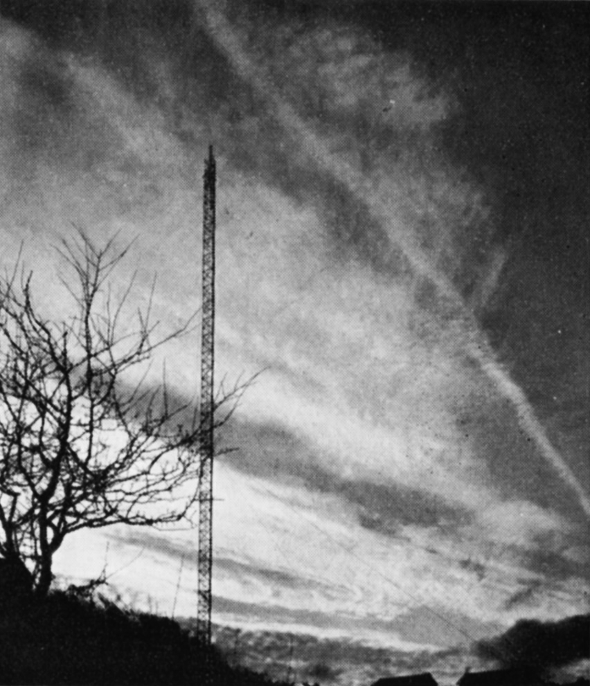
A site for the Presely station was found at Foel Drych 1,100 ft. above sea level, where a 770 ft. mast was sufficient to give the required coverage, although the radiation pattern of the transmitting aerial had to be extremely complicated. A narrow beam radiating 8o kW to the north was required to ensure a reliable programme link to the Arfon relay station. A beam of 100 kW to the south-east, in the direction of Carmarthen and Llanelly, was necessary to ensure that the service area of Presely joined that of St. Hilary; and a broad lobe of 5o kW to the south-west was needed to serve Pembrokeshire. At the same time severe power restrictions had to be incorporated in several directions to avoid co-channel interference in the service areas of the ITA’s transmitters at Strabane, Burnhope and Lichfield, the Kilkenny station of the Irish Republic, and the French stations serving the coast of Brittany. Intensive development was necessary to construct an aerial with this complicated radiation pattern.
The unattended Arfon station, which rebroadcasts the Presely transmissions, is at Bryn-ychain, ten miles south of Caernarvon, 950 ft. above sea level. A 1,ooo ft. mast was used to “see” over the mountains of Portmadoc to the coast of Cardigan Bay from Harlech to Barmouth, and to ensure the link with the service area of Presely. A directional aerial was again necessary. 10 kW is radiated to the north and south-west, 5 kW to the east and south-east, and 2.5 kW to the west.
The third station is at Moel-y-Parc, a peak in the Clwydian Range 1,100 ft. above sea level, and serves the North Wales area. A 750 ft. mast was found adequate to reach the coastal resins from Conway to Prestatyn, which are shielded by mountains close to the coast. The radiation pattern of the transmitting aerial is approximately semicircular, 25 kW being radiated from south-east to north-west with reduced power to the north and east. This was necessary to cover the Welsh areas but to avoid overlap with English areas already served by Winter Hill. Moel-y-Parc rebroadcasts the transmissions from the Arfon station, conveyed to it by an off the air pick-up at Nebo, in Anglesey, followed by a microwave link.
All three stations for the west and north of the Principality were in programme service by early 1963.
 ABC TELEVISION Ltd.
 ANGLIA TELEVISION Ltd.
 ASSOCIATED-REDIFFUSION Ltd.
 ASSOCIATED TELEVISION Ltd.
 BORDER TELEVISION Ltd.
 CHANNEL TELEVISION Ltd.
 GRAMPIAN TELEVISION Ltd.
 GRANADA TV NETWORK Ltd.
 SCOTTISH TELEVISION Ltd.
 SOUTHERN TELEVISION Ltd.
 T W W Ltd.
 TYNE TEES TELEVISION Ltd.
 ULSTER TELEVISION Ltd.
 WALES (West & North) TELEVISION Ltd.
 WESTWARD TELEVISION Ltd.
 INDEPENDENT TELEVISION NEWS Ltd
 INDEPENDENT TELEVISION COMPANIES ASSOCIATION