
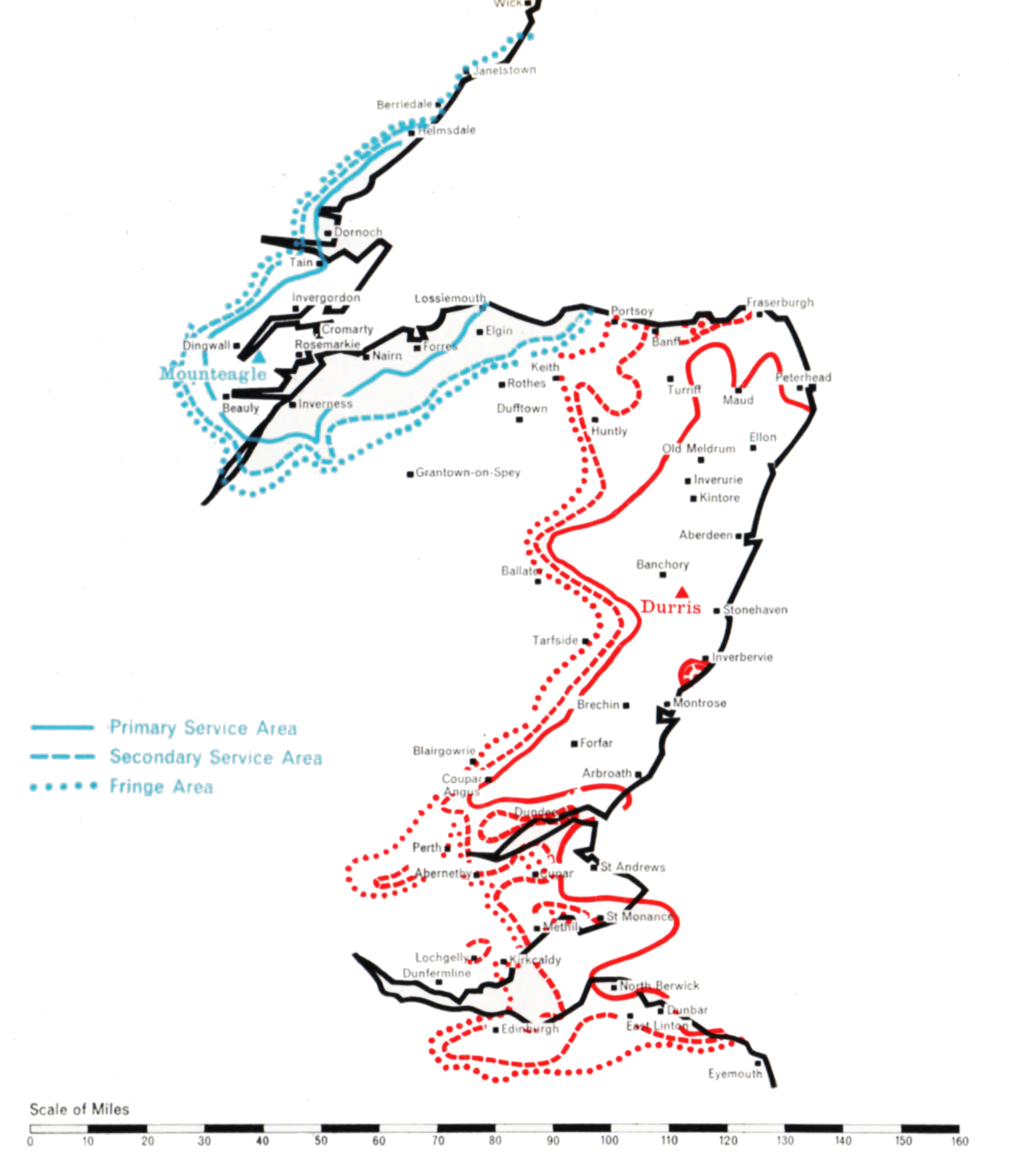
- DURRIS
- Population within measured contours: Primary 0.403 mn, Secondary 0.566 mn, Fringe 0.304 mn. Total 1.273 mn.
- Channel: Band III Channel 9 (horizontally polarised)
- Vision Carrier Frequency: Nominal 194.75 Mc/s. Actual 194.75675 Mc/s
- Sound Carrier Frequency: Nominal 191.25 Mc/s. Actual 191.266 Mc/s
- Effective Radiated Power: Vision 400 kw maximum. Sound 100 kw maximum.
- Power of Transmitters: Vision (peak white) 2 x 4 kW. Sound (carrier) 2 x 1 kW
- Heights above sea level: Site 1,050 ft. Mean aerial 2,000 ft.
- Location: 2° 23′ 22″ W, 57° 0′ 0″ N.
- MOUNTEAGLE
- Population within measured contours: Primary 0.096 mn, Secondary 0.042 mn, Fringe 0.005 mn. Total 0.143 mn.
- Channel: Band III Channel 12 (horizontally polarised)
- Vision Carrier Frequency: Actual 209.75 Mc/s
- Sound Carrier Frequency: Actual 206.25 Mc/s
- Effective Radiated Power: Vision 50 kw maximum. Sound 12.5 kw maximum.
- Power of Transmitters: Vision (peak white) 2 kW. Sound (carrier) 0.5 kW
- Heights above sea level: Site 730 ft. Mean aerial 1,480 ft.
- Location: 4° 16′ 33″ W, 57° 53′ 33″ N.
Durris (Channel 9) and Mounteagle (Channel 12)
Company: Grampian Television
Two stations were necessary to cover North-East Scotland, one of medium power to serve the Inverness area and another of high power to cover Aberdeenshire and as much of Angus as possible. The main problem was to find the best site for the high-power station, which was not necessarily that of the existing BBC Band I station at Meldrum, north-west of Aberdeen.
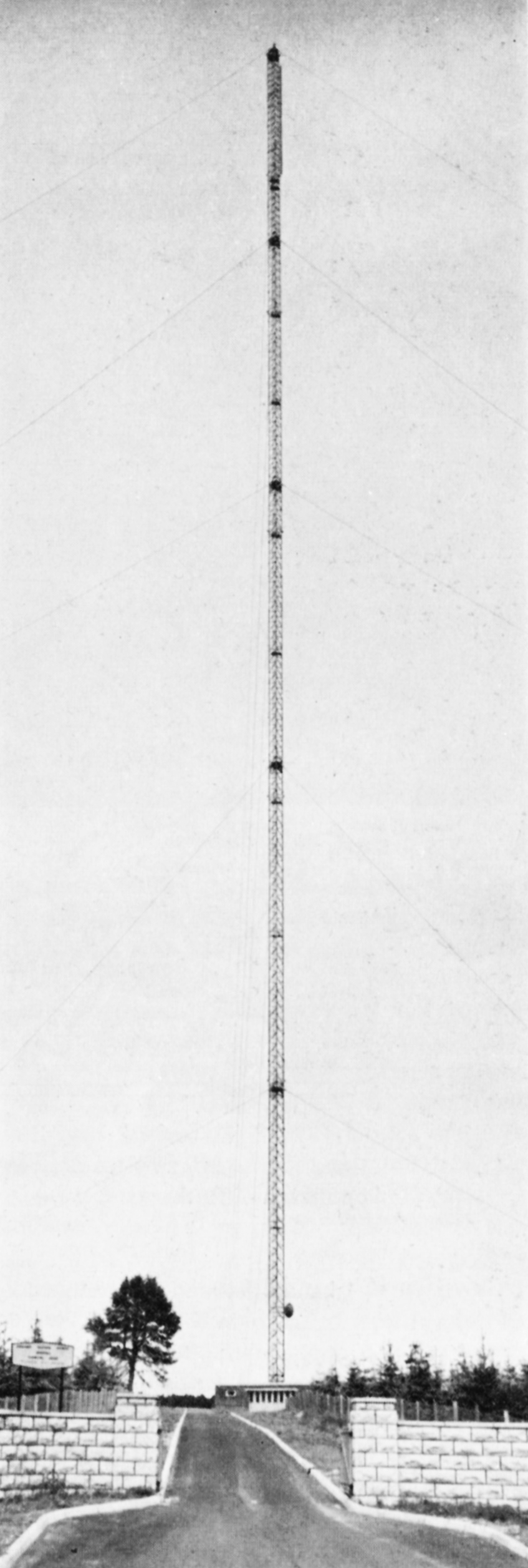
For the Inverness area, a site was found at Mounteagle 730 ft. above sea level, on the Black Isle, about eight miles north of Inverness and close to the Band I station at Rosemarkie. An 800 ft. mast was used, and the maximum power of 5o kW was radiated in two directions, slightly east of north and east of south respectively. 35 kW is radiated in the direction of Lossiemouth eastwards along the Morayshire coast. Only 10 kW is radiated to the west, over the uninhabited mountainous areas of Ross and Cromarty.
Choosing the site for the high-power station to serve Aberdeen/Angus was more difficult because it was decided to try to cover the whole coastal area from Peterhead on the Moray Firth in the north to Arbroath on the Firth of Tay in the south, a distance of some 100 miles, and to include those parts of Dundee which did not receive a satisfactory service from Black Hill. A site at Durris, 1,o5o ft. above sea level, exposed, difficult of access and some 15 miles South of Aberdeen was selected. A 1,ooo ft. mast was used. Once again this choice involved a departure from the principle of adjacent siting with existing Band I stations.
The Durris station beams its power in two main lobes, each of 400 kW, one directed to the north and the other to the south-west, towards Dundee. Both stations went into service on 30th September 1961, and together cover satisfactorily the large area they were planned to serve.